
Digital Twin Strategy
That Connects to Operations
Independent consulting for reality capture, BIM, and GIS integration.
Your Facility Data Can Actually Work for You
Imagine your maintenance team pulling up a work order and instantly seeing the equipment's exact location in a 3D model, complete with access routes and nearby utilities. Or your facilities manager running "what-if" scenarios for space optimization using real as-built conditions, not outdated CAD drawings.
Digital twins enable:
- Technicians locate assets in seconds instead of searching for hours
- Maintenance planning uses real spatial context, not guesswork
- Your maintenance system shows you WHERE the problem is, not just WHAT it is
- Capital planning decisions are based on actual conditions, not assumptions
- New staff get visual context for facilities they've never seen
We help you bridge the gap between construction data and operational needs, so your digital twin becomes a tool your team actually uses every day.

Who We Help
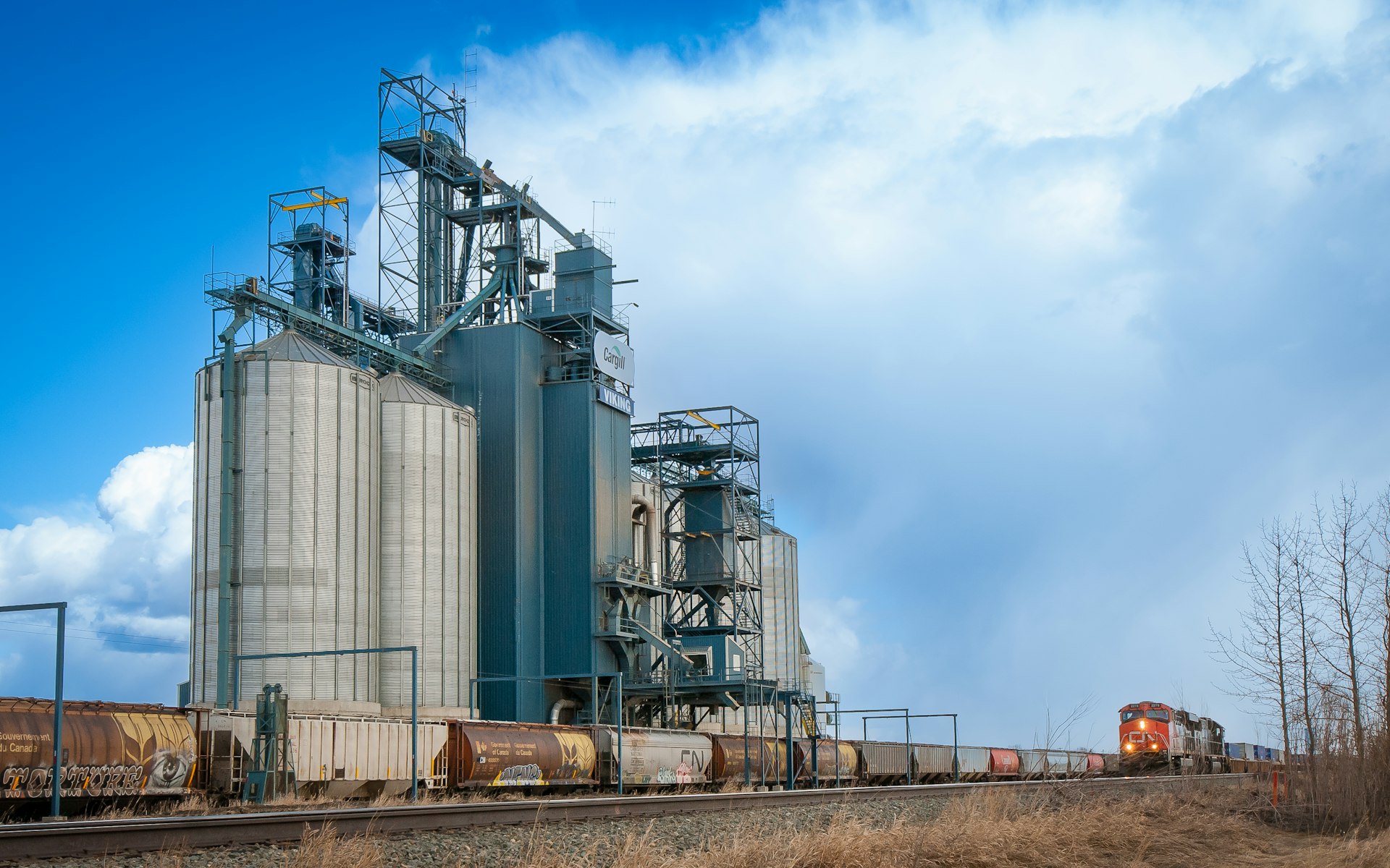
Industrial & Agricultural Operations
Manufacturing plants, processing facilities, refineries, grain elevators, storage and distribution centers with complex systems that require spatial intelligence.

Infrastructure
Utilities, airports, municipalities, and transportation systems where asset location and spatial relationships are critical to operations and maintenance.

Commercial Property Portfolios
Retail chains, multi-site operations, and property management organizations needing consistent facility documentation across locations.

Institutional Facilities
Universities, hospitals, and large campuses with aging infrastructure, ongoing renovations, and complex maintenance requirements.
Why Work With Us
Independent Engineering & Geospatial Consulting
Your facilities generate more data than ever. SRS turns data into insights that drive better decisions.
We operate at the intersection of three worlds that rarely communicate:
Reality Capture Specialists
We know how to collect high-accuracy spatial data (TLS, MLS, ALS, RPAS) and turn massive point clouds into usable information.
BIM-GIS Integration Experts
We connect building models to enterprise GIS systems so your data flows from design through construction to operations.
Operations Integration
We bridge the gap to your work order systems, asset databases, and maintenance software so your digital twin actually supports daily operations.
Our Affiliations
We are proud to be a part of these organizations:


How We Work Together
Reality Capture → Digital Twin → Facilities & Maintenance Teams
Digital Twin Readiness Assessment
We evaluate your existing systems for maintenance, facilities management, and spatial data, identify what's missing, and determine which technologies will actually work together. You'll receive a technology selection report, gap analysis, phased roadmap, and ROI projections so you know exactly which platforms to invest in and in what order.

Integration Strategy & Standards
We design how your systems communicate: reality capture data feeds your digital twin, which connects to your operations and GIS systems, which supports daily operations. We apply industry standards (OGC, ISO) so you avoid vendor lock-in. You'll receive workflow design documentation, data standards specifications, asset classification methodology, and handover protocols so your scan data becomes operational intelligence that technicians can actually use.

Smart Asset Recognition (Research-Backed)
We're developing AI-powered methods to automatically extract and classify facility assets from point cloud data. This research-backed approach will dramatically reduce the time and cost of populating digital twins with operational asset information. Currently available through pilot projects as we validate our automated pipelines across different facility types.

SRS is an invaluable partner for anybody needing geospatial excellence. The certified professionals at SRS provide a deep knowledge of complex mapping and geospatial challenges and always deliver strategic, accurate deliverables with integrity.

What sets SRS apart is their comprehension of geomatics as a whole and commitment to meeting or exceeding industry standards for Quality Control. Quantifying the value of reliable data is difficult - until you have to deal with unreliable data. Only then do you understand and appreciate the value of having confidence in the data.

Spatial Reality Solutions provided us the consulting knowledge to complete our lidar acquisition successfully. We have struggled in previous years to get the data quality we needed for our analysis and SRS' knowledge and experience in aerial lidar acquisition was absolutely essential to our projects success.

SRS delivered actionable insights to the client to support decision-making and operational efficiency.

Utilizing industry leading technology SRS has the ability to offer clients solutions that many other providers cannot. Having a quick turn-around time meant clients could have valuable insights for their project swiftly and done correctly, the first time.

It was an absolute pleasure working with SRS, they were always professional and great communicators. SRS was one of the best clients I have ever worked with.

SRS was able to elaborate on the most technical issues we were having with lidar processing and acquisition and provide easy solutions. The help provided gave us the ability to move forward with our project. Keep doing what you’re doing!

SRS helped our organization improve the development of scope for dam assessments.

Let's Connect Your Data to Operations
Most organizations invest in reality capture and BIM for construction, then struggle to make that data work for operations. Let's design your path from data collection to operational intelligence.
Start the Conversation