
Table of Contents
- Key Takeaways
- The Paradox Nobody Discusses
- What Changed in Data Collection
- Where Data Actually Goes
- The Classification Gap
- The Three-World Problem
- The AI Bridge: Semantic Segmentation
- Beyond Point Clouds: 3D Gaussian Splatting
- What's Working Now
- The Strategic Shift
- Looking Forward
- Key Terms
- FAQ
- Conclusion
About This Article
This article is authored by Spatial Reality Solutions, led by an ASPRS Certified Mapping Scientist with a Permit to Consult under the Association of Professional Engineers and Geoscientists of Saskatchewan (APEGS). SRS specializes in independent digital twin consulting, focusing on the integration architecture that connects reality capture data to operational systems.
Key Takeaways
- Modern sensors capture reality 10x faster than systems from five years ago, routinely generating terabytes per project
- The bottleneck shifted from acquisition to intelligence: organizations struggle converting measurements into insights
- AI-powered semantic segmentation is emerging as the bridge between point clouds and asset management
- Three-world problem persists: geospatial specialists, BIM professionals, and operations teams rarely speak the same language
- Strategic integration architecture determines digital twin success more than collection technology
The Paradox Nobody Discusses
A facilities director at a major grain terminal recently faced a familiar problem. The organization had invested significantly in digital documentation including drone surveys capturing rooftop infrastructure, SLAM documenting conveyor galleries and process areas, terrestrial scans showing mechanical rooms at high precision. Roughly 2TB representing substantial capital investment and enough storage to hold approximately 47 million pages of P&ID drawings. None of which helped locate the isolation valve.
The question that exposed the gap, "When the south conveyor system fails at 2 AM, can technicians use this to locate isolation points?"
The answer was no. Despite accurate documentation of every physical element, nothing connected those measurements to work order platforms maintenance teams actually used.
This scenario repeats across industrial facilities, university campuses, hospital complexes, and commercial properties. We've solved fast acquisition while creating a massive integration problem downstream.
What Changed in Data Collection
The geospatial technology revolution has been remarkable. SLAM systems now capture millions of points per second while walking through facilities. Drone platforms document hundreds of acres in single flights. Terrestrial systems with automated registration significantly reduced hours of manual processing. Processing automation handles registration, noise filtering, and coordinate transformation with minimal manual intervention.
Equipment vendors compete on points per second, flight time, coverage efficiency. Nobody discusses what happens after data collection ends.
The industry focus has quietly shifted. The primary challenge moved from acquisition speed to converting raw measurements into trustworthy, actionable information. Robust automation strategies including explainable AI for decision transparency, automated quality control procedures for validation, and comprehensive metadata standards for workflow documentation have become essential for delivering credible results within compressed timelines.
Where Data Actually Goes
The uncomfortable reality of most digital twin projects is that acquisition and processing happen efficiently, but integration is where projects die.
The integration valley exists because of fundamental mismatches. Point clouds represent geometry, not asset identity. That cylindrical object at coordinates X,Y,Z isn't automatically "Pump P-407, last serviced November 2023, critical to process operations." Organizations spend six figures documenting facilities comprehensively, then watch maintenance technicians walk past server racks full of that data to grab a tape measure and flashlight. At least the flashlight doesn't require software updates.
Visual documentation shows equipment without identifying manufacturer, model, or maintenance requirements. BIM models show spatial relationships beautifully but don't connect to platforms maintenance crews use daily like work order applications, preventive maintenance schedules, capital planning databases.
Each deliverable lives in separate software ecosystems with no connection between emergencies and documentation from previous projects.
The Classification Gap
Most organizations hire for acquisition capability without realizing they needed integration strategy.
A manufacturing plant documented with comprehensive SLAM coverage still references decades-old P&ID drawings because those show valve numbers and equipment tags the point cloud doesn't. Apparently 1987 CAD still beats 2026 high precision scans for answering 'which valve?
A university campus with complete aerial surveys and BIM models can't generate space utilization reports because asset classifications don't match database schemas.
An industrial facility with terabytes of survey information still sends technicians with flashlights during equipment failures because digital documentation doesn't connect to work order platforms.
The missing piece? Converting measurements into asset intelligence that operations teams can query and use.
The Three-World Problem
Three specialized domains intersect during capital projects but rarely integrate for operations:
- Geospatial specialists speak in point density, positional accuracy, coordinate transformations, ASPRS standards. They optimize for measurement fidelity and quality. Deliverable: technically excellent spatial information.
- BIM professionals speak in LOD specifications, IFC schemas, clash detection, coordination models. They optimize for design intent and construction coordination. Deliverable: intelligent building models.
- Facilities operations speak in work orders, asset IDs, maintenance schedules, downtime costs. They optimize for technician efficiency and continuity. Deliverable: functioning equipment and managed spaces.
These worlds intersect during projects but rarely integrate afterward. Geospatial consultant delivers accurate measurements. BIM coordinator creates detailed model. Maintenance team continues using platforms that predate both.
The expertise gap? Someone who understands SLAM acquisition AND asset management platforms. Someone who knows aerial photogrammetry AND work order integration. Someone fluent in all three languages.
This market reality drove SRS to shift strategic focus from traditional field services toward integration consulting. Organizations don't need another scanning company. They need someone who bridges these three worlds and designs the architecture that makes survey investments actually support daily maintenance decisions.
The AI Bridge: Semantic Segmentation
AI-powered semantic segmentation represents the bridge between point clouds and asset management.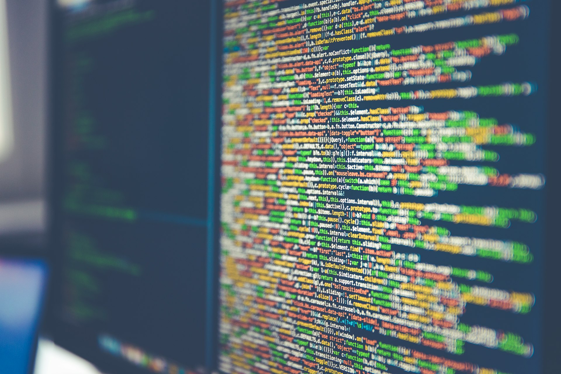
Traditional workflows require manual classification where technicians identify each piece of equipment, assign asset numbers, add attributes, link to maintenance databases. For complex industrial facilities, this takes weeks of specialized labor.
Semantic segmentation automates asset identification. Machine learning models trained on facility types recognize equipment categories (pumps, valves, tanks, electrical panels, HVAC units) then classify them according to maintenance schema.
Research-backed approaches using neural networks are reducing classification time from weeks to days for facilities with standardized equipment. The technology works best for industrial and institutional facilities where training datasets exist.
This is exactly why SRS is focusing research and development on semantic segmentation. The classification bottleneck represents the largest barrier to making digital twins actually useful for operations teams. Solving it through validated AI approaches changes the economics of digital twin implementation fundamentally.
What's Working Now
Organizations succeeding with digital twins share common patterns:
Working backward from operations
- Define specific use cases before technology selection. "Reduce time locating isolation points during shutdowns" is actionable. "Complete digital twin" is meaningless.
Designing integration architecture first
- How does scan information become asset intelligence? Which platforms connect? Where does classification happen? Who maintains it? Answer these before collection begins.
Using open standards
- OGC-compliant workflows prevent vendor lock-in. Standards-based architecture means information remains accessible regardless of platform changes.
Progressive deployment
- Pilot area proves value, refines workflow, builds user confidence before facility-wide rollout. Better to have 20% fully functional than 100% beautifully captured but unused.
Measuring outcomes
- Not "delivered 2TB point cloud and Level 300 BIM model" but "maintenance technicians locate assets 75% faster, capital planning uses actual conditions instead of assumptions."
Success measured by results, not file sizes.
The Strategic Shift
Acquisition technology has matured dramatically. The hardware and software work reliably. But the bottleneck moved.
What differentiates successful organizations isn't who has the most scans, but who turned measurements into intelligence. This requires different expertise than collection: technology-agnostic platform integration, understanding of maintenance workflows, ability to design how measurements become queryable assets.
Cloud-native processing pipelines that scale elastically, open data standards enabling cross-vendor interoperability, and API-first architectures supporting multi-user collaboration are reshaping how organizations approach geospatial workflows. The ability for platforms and tools to seamlessly share and process information has become essential as datasets grow in size and complexity.
Looking Forward
Organizations solving the integration problem gain compound advantages such as faster maintenance response, better capital decisions, remote planning capability. The opportunity exists because most digital twin investments still fail at implementation and most datasets sit unused.
Understanding the difference between collection and intelligence creates significant competitive advantage. The winning move isn't capturing more information faster. It's knowing what to do with it.
Key Terms
BIM-GIS Integration - Connecting building information models with geographic information systems for enterprise spatial data management
Digital Twin - Virtual representation of physical facility with operational intelligence, not just geometric accuracy
Mobile Laser Scanning (MLS) - Vehicle-mounted lidar systems for linear infrastructure like highways, railways, and powerline corridors
Operational Intelligence - Data structured to answer operational questions, not just capture geometric precision
P&ID - Piping and Instrumentation Diagram showing process equipment, piping, and instrumentation
Point Cloud - Collection of measured 3D coordinates representing physical surfaces with attributes like color and intensity
SLAM - Simultaneous Localization and Mapping systems used for indoor facility documentation
Frequently Asked Questions
Reality capture is data collection: lidar, photogrammetry, mobile mapping. Digital twin implementation is turning that data into operational intelligence that facilities teams use daily. Most organizations excel at the first, struggle with the second.
Typically three gaps exist: no asset classification matching your maintenance database, no integration with operations systems, and no user interface designed for technicians versus GIS analysts. The data is geometrically accurate but operationally unusable.
Usually no. Strategic approach: identify highest-value use case, capture pilot area, prove workflow, refine integration, then expand. Better to have 20% of facility fully operational than 100% beautifully captured but unused.
Requires integration architecture: asset extraction from geometric data, classification matching your database schema, API connections between systems, user interface enabling spatial queries from work order context. This is where independent consulting adds value versus just collecting data.
Different expertise. Mapping companies excel at data acquisition. Digital twin consultants design operational integration. Best approach: consultant defines requirements and integration architecture, mapping company executes collection, consultant manages implementation. Trying to get operational integration from acquisition specialists rarely works.
Conclusion
The geospatial industry crossed a threshold most practitioners haven't recognized yet. The constraint moved from acquisition speed to integration capability.
SRS works at this intersection. We handle data collection when that's what projects need, but our focus is solving the problem that comes after by connecting survey deliverables to maintenance platforms, designing integration architecture, and applying AI approaches to eliminate classification bottlenecks.
Most organizations discover the integration gap after investment, when deliverables sit disconnected from operational platforms. The strategic approach works backward - define operational requirements first, design integration, then execute collection.
Evaluating a digital twin investment?
Contact SRS to assess your systems, identify integration gaps, and design a roadmap that makes spatial data actually support operations.