
Digital Twin Strategy
That Connects to Operations
Independent consulting for reality capture, BIM, and GIS integration.
Your Facility Data Can Actually Work for You
Imagine your maintenance team pulling up a work order and instantly seeing the equipment's exact location in a 3D model, complete with access routes and nearby utilities. Or your facilities manager running "what-if" scenarios for space optimization using real as-built conditions, not outdated CAD drawings.
This is what digital twins make possible:
- Technicians locate assets in seconds instead of searching for hours
- Maintenance planning uses real spatial context, not guesswork
- Your CMMS shows you WHERE the problem is, not just WHAT it is
- Capital planning decisions are based on actual conditions, not assumptions
- New staff get visual context for facilities they've never seen
We help you bridge the gap between construction data and operational needs, so your digital twin becomes a tool your team actually uses every day.
Who This Is For
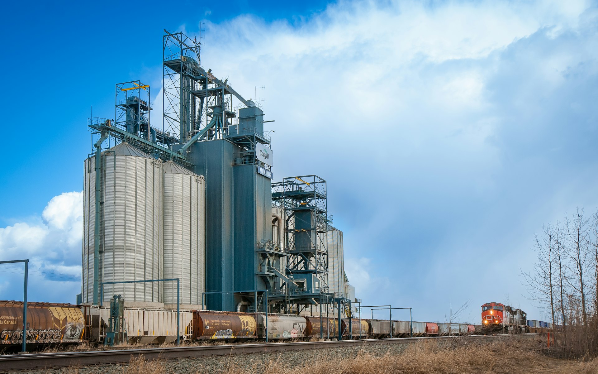
Industrial & Agricultural Operations
Manufacturing plants, processing facilities, refineries, grain elevators, storage and distribution centers with complex systems that require spatial intelligence.

Infrastructure
Utilities, airports, municipalities, and transportation systems where asset location and spatial relationships are critical to operations and maintenance.
Commercial Property Portfolios
Retail chains, multi-site operations, and property management organizations needing consistent facility documentation across locations.

Institutional Facilities
Universities, hospitals, and large campuses with aging infrastructure, ongoing renovations, and complex maintenance requirements.
Why Work With Us
Independent Engineering & Geospatial Consulting
We operate at the intersection of three worlds that rarely communicate:
Reality Capture Specialists
We know how to collect high-accuracy spatial data (TLS, MLS, ALS, RPAS) and turn massive point clouds into usable information.
BIM-GIS Integration Experts
We connect building models to enterprise GIS systems so your data flows from design through construction to operations.
Operations Integration
We bridge the gap to CMMS, CAFM, and asset management systems so your digital twin actually supports daily operations.
How We Work Together
Reality Capture → Digital Twin → Operations (CMMS/GIS/Asset Management)
Digital Twin Readiness Assessment
We evaluate your current systems (CMMS/CAFM/EAM, GIS, BIM tools), identify what data exists and what's missing, and determine which technologies will actually integrate. You'll receive a technology selection report, gap analysis, phased roadmap, and ROI projections so you know exactly which platforms to invest in and in what order.

Integration Strategy & Standards
We design how your systems communicate: reality capture data feeds your digital twin, which connects to CMMS/GIS, which supports daily operations. We apply industry standards (OGC, ISO) so you avoid vendor lock-in. You'll receive workflow design documentation, data standards specifications, asset classification methodology, and handover protocols so your scan data becomes operational intelligence that technicians can actually use.

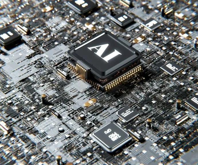
Smart Asset Recognition (Emerging)
We're developing AI-powered methods to automatically extract and classify facility assets from point cloud data. This research-backed approach will dramatically reduce the time and cost of populating digital twins with operational asset information. Currently available through pilot projects as we validate our automated pipelines across different facility types.
Ready to Make Your Digital Twin Actually Useful?
Most organizations invest in reality capture and BIM for construction, then struggle to make that data work for operations. Let's design your path from data collection to operational intelligence.
Start the Conversation