
Table of Contents
- Introduction
- Platform Selection Guide
- Why All Lidar Is Not Created Equal
- Accuracy Standards
- Selecting a Partner
- Key Terms
- FAQ
- Conclusion
- Additional Resources
About This Guide
This guide is authored by Spatial Reality Solutions, led by an ASPRS Certified Mapping Scientist - Lidar with a Permit to Consult under the Association of Professional Engineers and Geoscientists of Saskatchewan (APEGS). With deep expertise in lidar, geomatics, terrestrial laser scanning, and reality capture for the AEC industry, SRS specializes in delivering lidar consulting and services that meet rigorous professional standards for architecture, engineering, and construction projects.
Key Takeaways
- Lidar (Light Detection and Ranging) captures millions of accurate 3D measurements rapidly, transforming documentation of existing conditions
- Six primary platforms exist (TLS, SLAM, MLS, ULS, ALS helicopter, ALS fixed-wing), each with optimal applications
- Prosumer drone systems with entry-level payloads often fail to deliver survey-grade accuracy due to limitations in smooth surface repeatability, beam divergence, INS quality, and georeferencing
- ASPRS positional accuracy standards provide the framework for specifying accuracy requirements and validating delivered data
- Expertise in planning, execution, processing, and quality control separates reliable results from expensive failures
Introduction
Lidar has become the foundation of reality capture for AEC, supporting scan-to-BIM lidar workflows, digital twins, and infrastructure asset management. This lidar platform comparison outlines the strengths, limitations, and survey-grade lidar systems that meet ASPRS lidar standards for defensible data.
The built environment industry is experiencing a digital transformation in spatial data capture. Lidar technology has moved from specialized surveying to become essential for documenting existing conditions, verifying construction, planning infrastructure, and managing assets.
Yet professionals face a confusing marketplace. Whether you're planning infrastructure projects in Western Canada or managing construction documentation across North America, understanding which platform suits your project and why expertise matters is critical.
The Spelling Question
You've probably noticed three (or more... LADAR anyone?) spellings: LiDAR, LIDAR, and lidar. While many assume it's an acronym (Light Detection and Ranging), the researchers who coined the term in 1953 wrote it as "lidar," treating it as a word. Leading publications including PE&RS and Lidar Magazine follow this convention. We'll use "lidar" throughout this guide.
What Is Lidar?
Lidar measures distances by illuminating targets with laser light and analyzing reflected pulses. The result is a point cloud with precise X, Y, Z coordinates for millions of points. Each point may include color (RGB), intensity values indicating surface reflectivity, and additional attributes like GPS timestamps, scan angles, and classification codes.
Platform Selection Guide
Finding Your "Just Right" Platform
This lidar platform comparison helps identify the best-fit system for your project. Remember Goldilocks? Papa Bear's bed was too hard, Mama Bear's was too soft, Baby Bear's was just right.
Lidar platform selection works the same way. There's no "best" platform, only the best match for your application. Using TLS for a 500-acre site wastes time and money. Flying a helicopter to scan a mechanical room makes no sense. Deploying a prosumer ULS system for deformation monitoring delivers inadequate data.
Terrestrial Laser Scanning (TLS)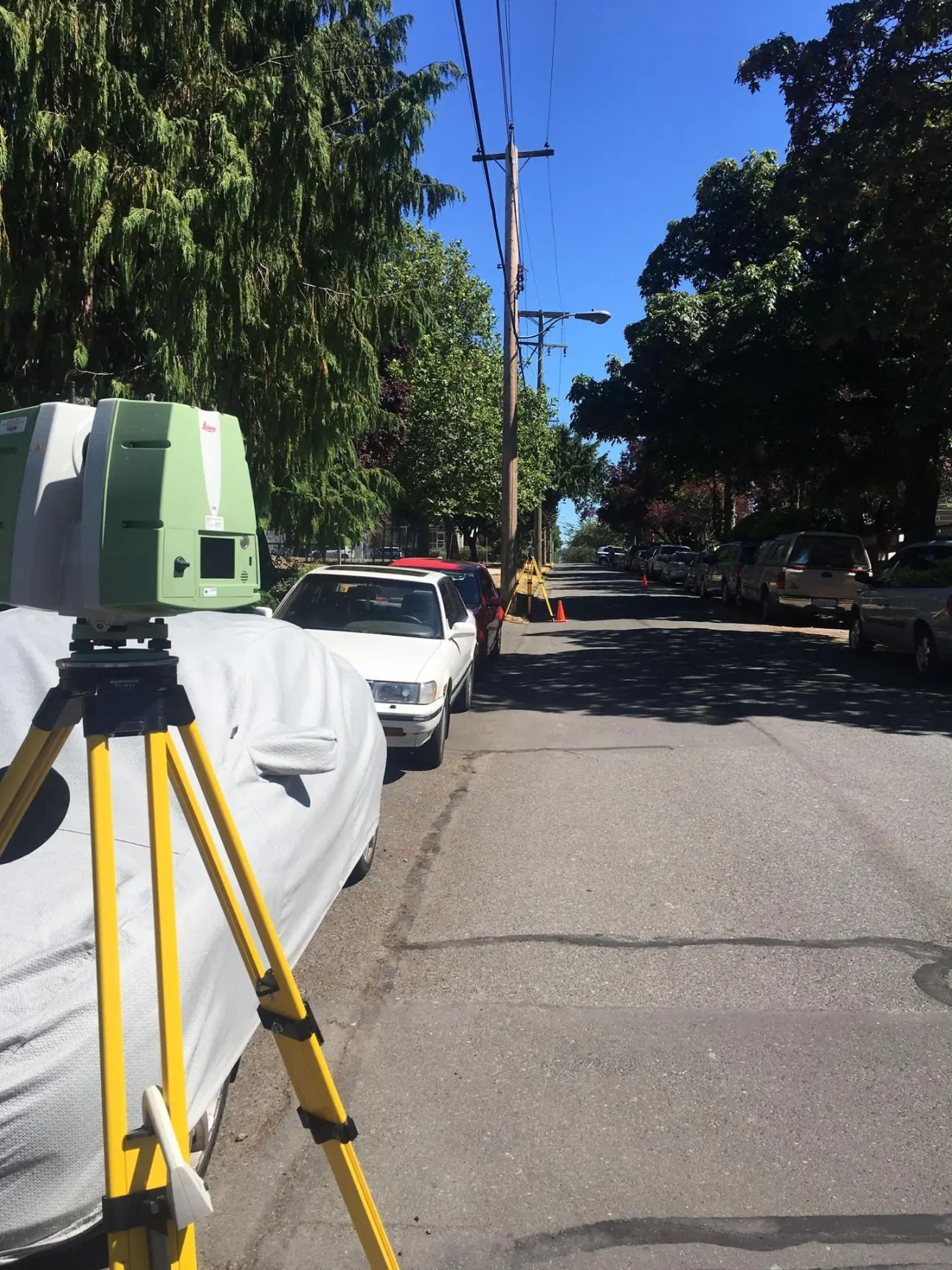
TLS achieves the highest accuracy among lidar platforms, with precision typically ranging from 2-5mm at operational distances. Scanners on tripods capture detailed 360-degree point clouds and imagery from stationary positions.
When to Use TLS
A hospital renovating a central utility plant needs to document decades of installed equipment: chillers, boilers, pumps, and complex piping at various elevations. Design teams need millimeter-level accuracy to prefabricate assemblies off-site and verify fit during installation.
Heritage restoration, structural steel verification, process piping documentation, and complex MEP installations all benefit from TLS accuracy and high detail.
Trade-offs: Comprehensive coverage of large spaces requires many scan positions, each taking several minutes. Projects covering extensive areas or long linear features become time-prohibitive.
Simultaneous Localization and Mapping (SLAM)
SLAM systems use handheld or backpack-mounted sensors that continuously scan while the operator walks through spaces. The system simultaneously builds a map and tracks its position within that map without requiring GNSS.
When to Use SLAM
A mining operation needs to document underground tunnel networks for ventilation planning and structural assessment. GNSS doesn't work underground, and setting up hundreds of TLS scan positions would take weeks. A SLAM backpack captures the entire tunnel system in days by walking through at normal pace.
Large building interiors like warehouses, hospitals, or university campuses benefit from SLAM's speed. Underground infrastructure, parking garages, and any GNSS-denied environment where MLS can't operate are ideal SLAM applications.
Trade-offs: Accuracy is lower than TLS. The system accumulates error over long traverses without loop closures or control points. Not suitable for applications requiring millimeter-level precision.
Mobile Laser Scanning (MLS)
MLS systems on vehicles (trains, automobiles, boats, carts, backpacks) capture continuous mobile mapping data for infrastructure while moving, transforming economics for linear features and large outdoor areas.
When to Use MLS
A city designing complete streets reconstruction along 5 kilometers needs curb locations, utility poles, signals, building facades, pavement conditions, and drainage features. MLS captures the corridor in a fraction of the time of conventional surveying methods with minimal traffic control.
Campus master planning, railway maintenance, roadway asset management, and pipeline corridors all benefit from MLS efficiency.
Critical Considerations
MLS requires either continuous GNSS positioning or extensive control networks in GNSS-denied areas. Urban canyons, tunnels, and dense tree canopy create positioning challenges requiring careful control planning.
Signal occlusion from limited sensor field of view and pulse blocking by buildings or terrain can create data gaps. Complex sites may need multiple passes or supplemental TLS, ULS, or ALS coverage.
Trade-offs: Requires GNSS and/or extensive control networks. Can't capture complex 3D interiors or areas inaccessible to vehicles.
Unmanned Laser Scanning (ULS)
ULS (drone-mounted lidar) provides aerial perspective and reaches locations that are dangerous or impossible to access from the ground.
When to Use ULS
A 40-acre construction site needs weekly topographic verification to track earthwork and confirm subgrade elevations is an example of drone lidar for construction. ULS captures the site in hours, generating dense data showing actual versus design conditions for quick corrections.
Rooftop equipment documentation, bridge inspections, stockpile volumes, small to medium-sized site topography and powerline as-builts are appropriate ULS applications.
Some professional payloads work across multiple platforms: drones, backpacks, vehicles, and helicopters.
Prosumer vs. Survey-Grade
Many organizations purchase prosumer systems with entry-level payloads thinking they're acquiring survey-grade capability. These typically use autonomous vehicle-grade lasers designed for obstacle detection, not surveying. They are equipped with low-quality INS, greatly reducing horizontal accuracy.
Trade-offs: Sensor quality varies dramatically between entry-level and survey-grade systems. Weather dependent. Regulatory restrictions on flight operations.
Airborne Laser Scanning (Helicopter)
Helicopter platforms carry full-size survey-grade systems over large areas while maintaining high point density and slower flight speeds for better corridor coverage.
When to Use Helicopter ALS
A transmission utility planning a 200-kilometer line upgrade through forested terrain needs accurate ground modeling for structure placement, vegetation analysis for conductor clearance, and access road identification. Helicopter ALS captures the corridor in hours with engineering-grade point density and ground extraction capability under dense canopy.
Highway and powerline corridors, pipeline routes, and medium to large scale sized topography benefit from helicopter coverage.
Trade-offs: For projects too large for drones but too small for fixed-wing aircraft, helicopters provide a cost-effective solution despite higher mobilization costs.
Airborne Laser Scanning (Fixed-Wing)
Fixed-wing platforms offer the most cost-effective per-square-kilometer coverage through higher flight speeds and altitudes. Emerging technologies, such as Geiger-mode lidar, may further improve their efficiency.
When to Use Fixed-Wing ALS
Natural Resources Canada's Flood Hazard Identification and Mapping Program (FHIMP) primarily uses fixed-wing lidar to create baseline topographic data for flood risk assessment across priority areas.
State/provincial transportation departments conducting network-level assessments across thousands of kilometers, environmental baseline studies covering watersheds, power transmission networks spanning hundreds of kilometers, and regional geological surveys represent appropriate applications.
Trade-offs: Lower point density than other platforms. Fixed-wing becomes cost-prohibitive on smaller sites where ULS excels.
Why All Lidar Is Not Created Equal
The marketplace ranges from prosumer drones with entry-level payloads costing a few thousand dollars to professional survey-grade lidar systems priced at hundreds of thousands. Many decision-makers purchase prosumer systems without realizing they are not acquiring survey-grade capability, discovering limitations only after committing to projects.
Upgrading to a long-range lidar system with a lower-grade INS is like upgrading from a crossbow to a high-powered rifle while keeping iron sights. You can fire farther, but can you actually hit what you’re aiming at?
Extended sensor range alone does not guarantee accurate data. The quality of the INS and how the trajectory is processed are critical for georeferencing points correctly. Systems differ widely in these capabilities, and entry-level platforms may produce noisy data or fail to meet survey-grade requirements over longer flight lines. Accuracy claims measured in the lab rarely reflect real-world performance; independent testing and validation against survey standards are required to understand true system capabilities.
In real-world applications like dam or bridge monitoring, noisy or low-accuracy data can prevent detection of subtle movements or structural changes, causing delays, extra costs, and potentially serious safety consequences. Many organizations only realize too late that their lidar system cannot detect the movements they need to measure.
For a detailed framework to evaluate system capabilities and avoid costly mistakes, see our Lidar Technology Assessment Guide.
Accuracy Standards
ASPRS Positional Accuracy Standards
The American Society for Photogrammetry and Remote Sensing publishes Positional Accuracy Standards for Digital Geospatial Data. The current 2024 Edition 2 Version 2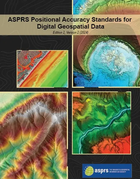 standards define accuracy classes based on RMSE values for horizontal, vertical, and three-dimensional positional accuracy.
Rather than vague "high accuracy" claims, ASPRS standards allow quantifiable requirements. You might specify 5cm horizontal and 10cm vertical for highway corridor studies, or 15mm 3D positional accuracy for building renovation design.
Three-Dimensional Positional Accuracy
The 2024 standards introduced a 3D positional accuracy metric recognizing that many applications, such as three-dimensional models and digital twins, require understanding combined horizontal and vertical uncertainty rather than treating components separately.
Interpreting Specifications
When vendors claim specific accuracy, ask for context. Is that sensor precision or system accuracy? At what distance? Horizontal, vertical, or 3D? What confidence level? How was it validated under APRS standards? Can they provide documented accuracy reports?
Without context, accuracy claims are marketing, not specifications.
Validation
All survey-grade work should follow ASPRS standards. The only exception is "produced to meet" situations where providers have completed identical processes hundreds of times with extensive testing proving procedures consistently meet specific classes. Even then, periodic validation is necessary.
Selecting a Partner
Equipment matters, but expertise matters more. If you need help selecting a lidar partner or consulting on your data collection efforts, contact Spatial Reality Solutions.
Our ASPRS Certified Mapping Scientist credentials and professional engineering permits ensure accountability to recognized standards. We provide consulting services across Western Canada and internationally, including:
- Independent lidar system assessments and technology selection
- Accuracy specification development and validation planning
- Processing workflow design and quality control
We don't sell equipment. We solve problems using whichever tools best match your requirements.
Key Terms
ALS - Airborne Laser Scanning (helicopter or fixed-wing)
ASPRS - American Society for Photogrammetry and Remote Sensing
Beam Divergence - Laser beam spreading with distance (milliradians)
GNSS - Global Navigation Satellite Systems
INS - Inertial Navigation System for platform orientation
MLS - Mobile Laser Scanning
Point Cloud - 3D points with X, Y, Z coordinates
RMSE - Root Mean Square Error (accuracy measure)
SBET - Smoothed Best Estimate of Trajectory
SLAM - Simultaneous Localization and Mapping
Smooth Surface Repeatability - System accuracy combining all error sources
TLS - Terrestrial Laser Scanning
ULS - Unmanned Laser Scanning (drone-based)
Frequently Asked Questions About Lidar
Prosumer systems use entry-level payloads with autonomous vehicle-grade lasers and low-grade INS. Survey-grade systems use survey-grade lasers designed for mapping with tighter beam divergence, tactical or survey-grade INS.
Consult design teams about construction tolerances, refer to applicable industry standards, and consider acceptable dimensional uncertainty. Professional providers can help match accuracy specifications to project needs.
No. ULS provides excellent coverage for appropriate applications but cannot match TLS precision for complex interiors, cannot operate efficiently in GNSS-denied environments, and becomes cost-prohibitive versus ALS for large regional projects and linear corridors.
ASPRS publishes industry-standard specifications for digital geospatial product accuracy. These standards provide frameworks for specifying accuracy classes, collecting data appropriately, and validating through independent checks that deliverables meet requirements.
Critical, especially for mobile and aerial platforms. Low-grade INS results in inaccurate orientation over surveys. Survey-grade work requires tactical or survey-grade INS. As laser range increases INS quality becomes more important.
System accuracy measured on flat surfaces under field conditions. It can represent the combined effects of laser quality, beam divergence, INS performance, GNSS accuracy, and other error sources, providing a practical measure of real-world performance and total propagated uncertainty.
Control requirements depend on platform and accuracy needs. TLS requires control for georeferencing. SLAM requires loop closures or control points to limit error accumulation. MLS needs either continuous GNSS or control networks in GNSS-denied areas. ULS and ALS may achieve accuracy through direct georeferencing, but control points provide validation and improve accuracy.
TLS provides higher accuracy from stationary positions, ideal for applications requiring maximum precision. SLAM systems allow rapid collection of large interiors with reduced accuracy. SLAM excels for quick documentation of extensive spaces or GNSS-denied environments. TLS excels when dimensional accuracy is critical.
Conclusion
Lidar has evolved from specialized surveying equipment to an essential tool across the built environment industry. The technology enables faster delivery, reduces risk through accurate documentation, and supports better decisions through comprehensive data.
But technology alone isn't sufficient. Like Goldilocks seeking the right bed, matching platform capabilities to project requirements determines success. Entry-level equipment marketed with impressive specifications often fails when validated against professional standards.
The key questions are straightforward. What accuracy do you need? Which platform is appropriate? How will results be validated? Will the provider follow ASPRS standards?
Understanding platform differences, recognizing entry-level equipment limitations, knowing the importance of ASPRS standards, and asking the right questions helps you make decisions supporting project success.
The cost of quality data is modest compared to inadequate data. Design changes from poor documentation, construction conflicts from inaccurate information, and project delays from recapturing data all cost substantially more than professional collection and validation.
Ready to avoid a costly mistake?
Contact Spatial Reality Solutions for a consultation. We'll review your project requirements, evaluate platform options, and provide guidance on specifications and validation methods.
Serving clients across Saskatchewan, Manitoba, Alberta, and Western Canada with international project experience.
Related Articles:
References:
Stewart, C. (2014). "Let's Agree on the Casing of Lidar." Lidar Magazine.
American Society for Photogrammetry and Remote Sensing. (2024). "ASPRS Positional Accuracy Standards for Digital Geospatial Data, Edition 2, Version 2."